
Atlantic Hurricane Outlook – August 8, 2025: Dexter Is Now Post-Tropical; Invest 96L Gains Strength
Post-Tropical Cyclone Dexter exits the Atlantic, while Invest 96L shows increasing potential for tropical development. Conditions remain favorable with record-warm waters and weakening Saharan dust.
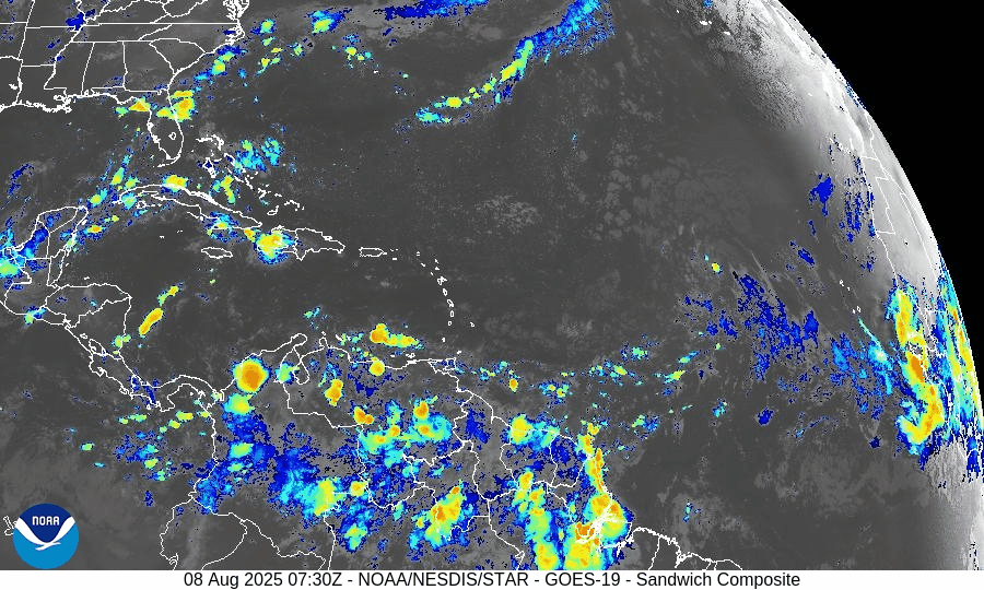
Post-Tropical Cyclone Dexter is moving off into the North Atlantic, fully transitioning into an extratropical system. Meanwhile, tropical wave Invest 96L in the central Atlantic now has a high chance of development, and another system further east offers mid-range development potential.
Atlantic Basin Overview
Dexter has become an expanded, post-tropical storm centered near 41.4° N, 50.4° W
—convection is waning and structure is elongated. (NHC advisory)Invest 96L (tropical wave near ~38° W):
Development chances now stand at 60% within 7 days. Recent observations show disorganized showers, but environmental trends suggest improved potential.New wave along ~38° W with an embedded 1011 mb low around 17° N:
Minimal convection currently, but models indicate conditions may become more favorable later this weekend.
—Chance of development: Low in 48 hours, medium in 7 days.
Environmental Conditions
Sea Surface Temperatures (SSTs): Remain strongly elevated—2–4 °F above average, with localized hotspots reaching 90 °F—offering ample fuel for future storm growth.
Wind Shear: Still moderate to high in the central tropical Atlantic; however, models suggest gradual easing may occur later in the month.
Saharan Air Layer (SAL): Though dust continues to suppress early-season convection, its influence is weakening, particularly in the western basin.
Dust & SAL data from Windy.com
Gulf & Caribbean Update
No tropical activity present.
A high-pressure ridge maintains calm, dry conditions across both regions, with only typical late-summer showers in coastal zones.
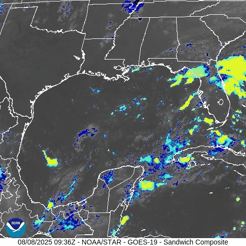
GOES-19 - Sector view: Gulf of America
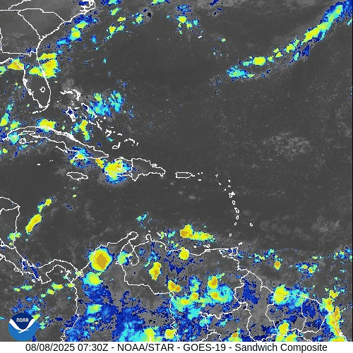
GOES-19 - Sector view: Caribbean
Florida Forecast
Highs: Near 90 °F, with sticky, humid air.
Rain: 40–50% chance of afternoon thunderstorms driven by sea breezes.
Winds: Light and variable; no tropical weather expected.
Rain forecast visualization courtesy of Windy.com
Prep Tip of the Day
With Invest 96L showing increasing organization potential, now is an excellent time to check:
Hurricane supply kits
Evacuation plans
Emergency alert systems across your household
TL;DR – August 8 Snapshot
Dexter has become post-tropical—no land threat.
Invest 96L: 60% chance of development over the next week.
Another eastern wave: Low immediate risk, medium chance in 7 days.
SSTs warm, SAL draining, shear easing—conditions veering toward more activity.
Stay tuned—peak season is ramping up quickly.
For daily updates, stay locked to Cat5Prep.com.