

Atlantic Hurricane Outlook – June 19, 2025: Still Down South – Pacific Watches Erick
The Atlantic remains storm-free, but Hurricane Erick—a powerful Category 4 storm—gains strength in the Eastern Pacific. Learn what this means for the Atlantic basin and why now is the time to prepare.
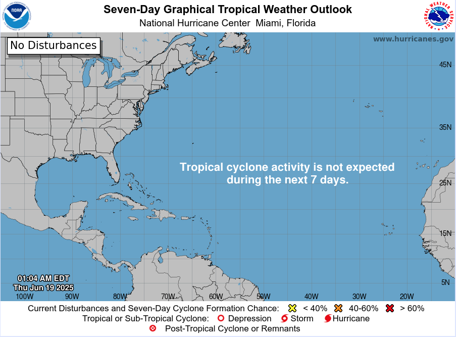
The Atlantic basin remains quiet today, with no active tropical cyclones and no development expected over the next 7 days, according to the National Hurricane Center’s latest 2 AM and 8 AM EDT outlooks nhc.noaa.gov. While the Atlantic sleeps, attention is turning to a powerful system in the Pacific.
Atlantic Basin: Calm Waters, No Alerts
There are still no named storms or areas under tropical monitoring. The graphical and textual 7-day outlooks show zero development chance, meaning the basin continues its quiet stretch early in the season . Early June silence isn’t unusual—but with warm seas in place, conditions could shift quickly.
Satellite view via Windy.com
Pacific Perspective: Erick Now a Category 4
In the Eastern Pacific, Hurricane Erick has rapidly intensified into an “extremely dangerous” Category 4 storm with 145 mph sustained winds, now only about 70 miles west-southwest of Puerto Ángel, Mexico, heading for landfall.
This storm is expected to bring destructive winds, brutal rainfall (8–16 inches), mudslides, and severe coastal flooding across southern Mexico.


Sea Surface Temperatures: Atlantic Warming Continues
Gulf & Western Caribbean: SSTs remain warm at 84–88 °F, maintaining energy supply for potential tropical systems.
Main Development Region (MDR): Ocean temperatures are also above normal, setting the stage for Atlantic activity later in the season.
Sea Surface Temperature via Windy.com
Atmospheric Conditions: Suppressive Air Masses

Wind Shear Courtesy of https://tropic.ssec.wisc.edu/
Wind shear: Still moderate to high across key development areas, limiting near-term storm formation.
Saharan Air Layer (SAL): A persistent dust plume continues to suppress early-season activity in the eastern Atlantic.
Moisture: Slowly increasing in the Gulf and western Caribbean, helping build storm potential.
Saharan Air Layer (Dust) via Windy.com
Daily Weather: Standard June Patterns
Florida & Southeast U.S.: Afternoon and evening thunderstorms remain widespread but non-tropical.
Caribbean & Atlantic: Quiet and storm-free, with no signs of developing systems.
Air Quality: Possible haze in Florida due to advancing Saharan dust.
Thunderstorm Forecast (ECMWF) via Windy.com
Florida Forecast (June 19)
Highs: Upper 80s to low 90s °F (31–33 °C)
Humidity: High—typical muggy summer
Rain: Scattered PM showers and thunderstorms
Visibility: Hazy in some areas
Winds: Light, occasional gusts near storm cells
Rainfall Forecast (ECMWF) via Windy.com
Prep Tip of the Day: Cross-Basin Awareness
Even without Atlantic storms, Pacific activity underscores a critical point:
Monitor systems across basins, not just the Atlantic
Understand conditions building globally—warm seas, dust, wind shear shifts
Use this calm time to update emergency contacts, test NOAA radios, and finalize supply kits
Looking Ahead: Calm Now, But It Won’t Last
No Atlantic activity is expected this week, but elevated ocean temperatures, decreasing wind shear, and diminishing dust suggest a shift is coming. Hurricane Erick in the Pacific could hint at similar atmospheric boosts affecting the Atlantic soon.
Stay tuned for daily updates from Cat5Prep.com—the next tropical trigger could arrive sooner than you think.